Orbiting satellites with sensors trained on the Earth have transformed hydrology. Remote sensing technology makes taking measurements easier, gathering more data than the field has had before. That includes areas that have never been monitored. The result is a new, birdseye perspective on the study of water and the water cycle that also expands our knowledge about climate change. To understand the impact of remote sensing on hydrology, it helps to look back in recent history to learn how the field progressed just before the technology skyrocketed.
People began to look down on the Earth from on high in the 1850s when people took the first aerial photos from balloons. The practice improved fields such as cartography and topography.
Nearly one hundred years later, the first artificial satellite Sputnik 1 was launched in 1957. Sputnik broke the seal, leading a pack of hundreds into orbit. Remote sensing technology advanced incredibly in the last century, spurred on by advances in radio frequency studies, and new ways to travel upward.
Today more than 5,000 satellites are orbiting our planet. Different phenomena can be measured from space occurring in the land, ocean, atmosphere, ice sheets, and nearly everywhere else.
The oldest mission that is still ongoing is called Landsat, which goes from Landsat 1 (1972) to 9 (current mission). It is composed of multiple satellites implemented with sensors to collect data and images of our planet remotely. This mission provides multispectral imagery covering the entire planet, this can be used for land cover and use mapping, analyzing surface temperatures and changes in climate patterns, monitoring water resources, etc.
Data from space missions are available on various platforms, each hosted by different space agencies or their affiliated organizations. These platforms offer a wide range of functionalities, such as retrieving data from specific regions, generating time series at precise coordinates and more. The functions available depend on the platform’s design and the mission or variable being analyzed. Repositories like EarthData, the Copernicus Open Access Hub, and NASA Giovanni provide access to a range of datasets, from raw satellite data to post-processed information, tailored to each mission’s objectives.
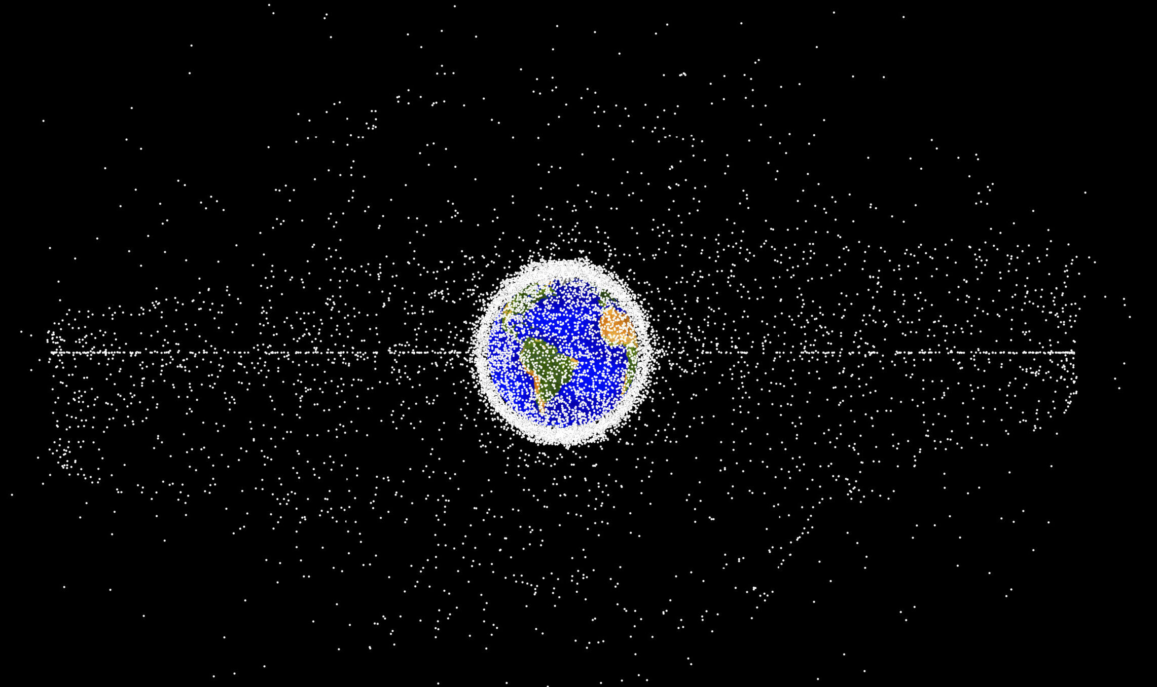
The white dots are debris in Earth’s orbit. Approximately 5% of them are functional satellites. Image: NASA Orbital Debris Program Office
Remote sensing in hydrology
Hydrology used to rely on data gathered on the ground. In situ measurements included topographic surveys and data collection for inputs in the models from ground-based stations. The data-gathering technologies on the ground were rain and stream gauges and evaporation pans.
While this approach has not changed over time, it has its flaws. The technology has challenges such as temporal gaps, limited spatial coverage and data accessibility. Remote sensing information has since advanced to meet most of those challenges.
Meteorological missions like Tropical Rainfall Measuring Mission (TRMM) and Global Precipitation Measurement (GPM) can be examples of how remote sensing innovated meteorological variables monitoring , using technology and having different precision from the ground-based stations. These missions focused on monitoring precipitation and provided spatial coverage of rainfall behavior, which represents a significant improvement over traditional methods of studying rainfall in hydrology. Covering specific needs in the remote regions where precipitation stations are scarce, such as forests, high altitude areas, oceans, etc.
Remote sensing is at the cutting edge of technology, and it is important for regions where data are scarce. It is still imperfect, however, and it is crucial to understand the limitations and challenges associated with this technology. Ground-based measurements are still needed to fill gaps left by remote sensing.
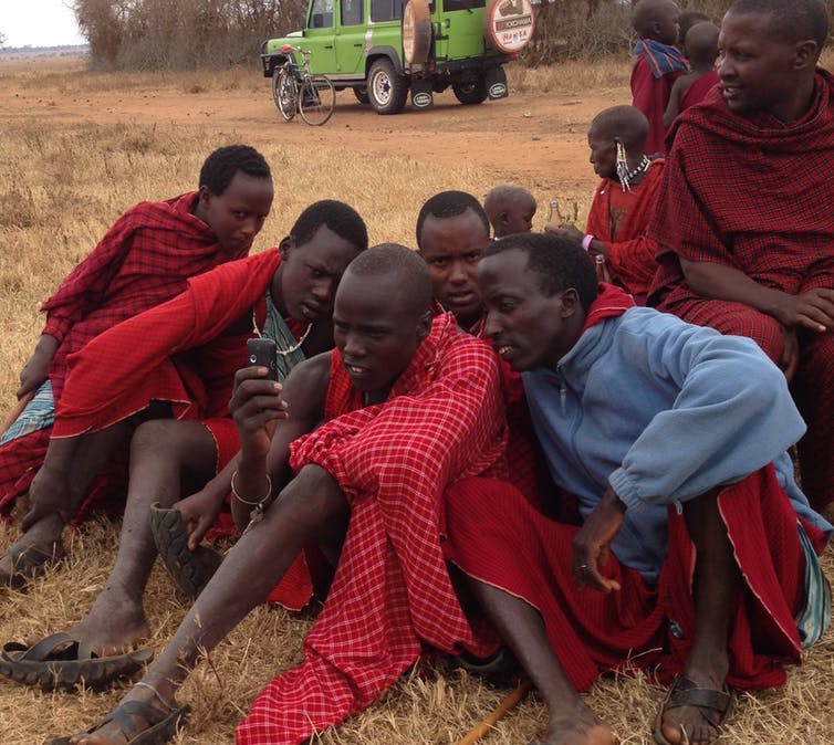
In underserved communities and other regions, however, ground-based tools are not available. Monitoring certain hydrologic variables in those areas is not prioritized or not planned for the foreseen future. When accurately interpreted and with well-understood limitations, remote sensing data offers valuable insights in for hydrology in areas where traditional methods may be difficult to apply.
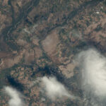
- Flooding in Brazil, 2023. Photo: Earth Science and Remote Sensing Unit, NASA Johnson Space Center
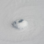
- Hurricane Michael in 2018. Photo: Earth Science and Remote Sensing Unit, NASA Johnson Space Center
Remote sensing in Climate Change
Climate change is happening, and there is no doubt about it. Nowadays, people frequently comment on unusual weather patterns, such as experiencing a warm day in winter or unexpected rain during a dry season. While the reasons and variables involved in climate change can be debated and may be controversial, its existence and persistence are undeniable.
Remote sensing data has informed global climate models. Combined with data from ground-based sources, they fill in the picture of a rapidly changing global climate. They were a key part of the assesments made to establish the Sustainable Development Goals, and they are prominent in reports by the Intergovernmental Panel on Climate Change (IPCC).
Some kinds of studies could not happen without remote sensing. Studies of glaciers, for example, require remote sensing. Glaciers are crucial for water supplies downstream n many communities worldwide. Climate change puts glaciers at risk worldwide. IPCC reports estimate the disappearance of glaciers by the end of the century.
Over the past few decades, scientists have developed glacier inventories such as the World Glacier Inventory (WGI) and the Randolph Glacier Inventory (RGI). The WGI includes data on more than 130,000 glaciers, primarily from the second half of the 20th century, while the RGI mostly covers glaciers mapped around the 2000s. Both serve as valuable baseline datasets, but cannot capture recent changes in glacier dynamics. Artificial intelligence can address the issue, and recent work has used remote sensing methods to improve the temporal accuracy of glacier monitoring.
Time-lapse glaciers and ice sheets from a remote sense view, over 50 years, are giving new insight into how regions are changing. [https://youtu.be/E4Zc_KuXMkA]
About the Author
Jhon Felix Vila Solier is a former E4C Fellow and a water resources engineer working in the fields of remote sensing and water resource solutions.
