Project Outcomes
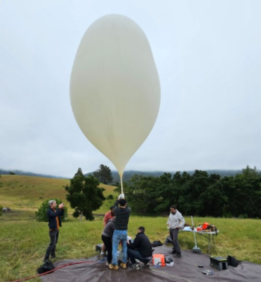
The project involved the processing of variable airborne data collected by a high-altitude platform carrying optical and thermal sensors. The balloon-based platform faced environmental challenges including constant rotations during flight due to wind conditions at high altitudes, resulting in images with inconsistent orientations. The project aimed to simplify the post-processing across various sensors and minimal metadata, to support early wildfire detection efforts.
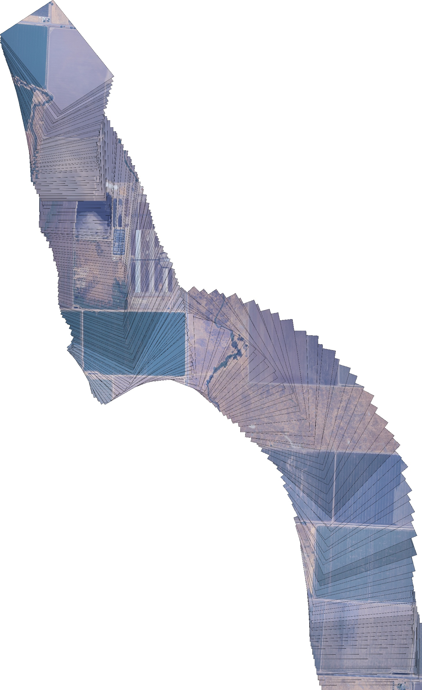
The work focused on developing a post-processing algorithm to handle images from multiple sensors and generate mosaics. This required implementing feature detection algorithms. The algorithm was designed to handle large datasets efficiently and overcome the unique challenges of building mosaics across diverse landscapes.
The key deliverables include functional Python tools capable of downscaling images to accelerate processing, and generating mosaics from the image galleries. Both tools are critical for efficiently managing and processing large volumes of sensor data.
This algorithm provides the processed data that contributes to an early warning system for wildfire detection, enabling faster responses and potentially reducing the damage caused by wildfires.

Mosaic created with 200 photos from the optical sensor
